ARTICLE – A while ago I was watching an episode of “The West Wing” (season 2 episode 16, “Somebody’s Going to Emergency, Somebody’s Going to Jail”). In the “Cartographers for Social Equality” portion of the show, it really hit me (just like CJ) that the Mercator projection map that I have been using since I was a child is misleading when it comes to the relative sizes of the Earth’s landmasses. I knew that by flattening the globe the map distorted the sizes, but I didn’t really realize just how much.
I also read an article about this on Curiosity.com (“Sorry, But Every Map Is Lying to You“). They provided a link to a website called thetruesize.com that allows you to view the actual size of a country (or a state in the U.S.) and compare it to others’ sizes. After using the website tool, I found out just how distorted the Mercator projection map is.
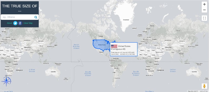
When you use thetruesize.com website, you’ll need to type the name of the country in the search box, then click on it and drag it over other areas of the map to compare the sizes. Right-clicking on the country will delete it allowing you to search on and compare other countries. You can even stack searched countries on top of each other and lining them up along the equator eliminates much of the distortion. Give it a try starting with Greenland. It’s eye-opening and fun seeing the true size of Earth’s landmasses!
Gadgeteer Comment Policy - Please read before commenting
The Mercator projection is only really useful for two things: Ease of production (nice clean rectangles…), and ship navigation. (Going East/West at 30 knots per hour? Great – every two hours you’re going one vertical line over…)
👍
How To Open The Site?
Kent – You should be able to reach the website by clicking on the link in this article. If you are unsuccessful, you can open your browser and type ”thetruesize.com” (without the quotes) in the search bar or URL area of the browser and it should take you to the website.
Once you are there, at the top of the page you will see the heading ”THE TRUE SIZE OF…”. Under the heading, you can type in the name of the country you are interested in and hit “Enter”. Once the country is highlighted, you can tap on it (or click on it if you are using a mouse) and drag it around the map to compare it to other countries. I hope this helps!
It’s really fascinating to see the true size of counties especially as you approach the North or South Poles!
How do you remove the guide video
Zaz – Try zooming out using the “+” or “-” buttons on the upper-right corner of the screen. If that doesn’t work, try zooming out using your keyboard’s “Ctrl” key and your mouse wheel. After zooming out, you should be able to see the small “X” in the upper-right corner of the guide video to close it. I hope that helps! 🙂